Friday 29 August 2014

Lizzie Wild Camping

I seem to be getting a bit behind with my blogs, so it's time for a catch up. And this one's a grand microadventure! At the beginning of July, Lizzie came to stay with me for a few weeks. One of the things I've been promising was that we'd sleep on top of a mountain, so as soon as we could, we did.

We started just around tea time from a layby near the foot of Tryfan. The weather was mild, high pressure, warm and still. We ascended from the car park, first following the path, then bearing left. From here we cut across and up the gully over the top of Craig Bochlwyd, heading for to the Llyn (of the same name) that nestles in between Tryfan, Glyder Fach and Y Gribin. The ascent was quite steep, but I was surprised how easy it was to motivate Lizzie up the steep slope. Even Tangfastics were not required! Once over the top, a small but conquerable patch of marshy ground slowed us briefly, more because I didn't have waterproof footwear on, than anything Lizzie couldn't cope with. Once beyond this, we arrived at the outlet of the Llyn, and continued westward.


On the west side of the lake is a perfect camping venue: a large and flat ancient moraine heap, deposited about 10,000 years ago by a dwindling glacier at the end of the last Ice Age. Since then, nature has taken it's course, covering the rock with enough soil and grass to get a pegs into. Close cropping by the native sheep and goats have transformed it into something of a perfect camping venue, where the grass is short and rivals most commercial campsites (even those elsewhere in the valley) and which charge for the privilege. The wind shelter is also pretty good from the mountainous amphitheatre surrounding the Cwm. I pitched my Wild Country Zephyros 2 quickly, then fed us both on my small but perfectly-formed MSR microrocket: First Lizzie had chicken noodles, while I prepared my usual roast vegetable couscous with a packet of instant potato and leek soup (700 calories right there!). A small circle of fire-charred stones, left by a not-so-environmentally-conscious previous visitor, acted as my windshield.

The ambience of this place is slightly strange at this time of summer. The shadow cast by Y Gribin onto the cliffs of Bristly Ridge and Glyder Fach doesn't seem to change very much. The angle of the ridge must exactly match that at which the sun sets. This means that half of the cwm is in shade and half in sun, all evening, right up until the moment when the sun disappears, leaving an instant, chilly twilight.


Despite wearing my down jacket, Lizzie was soon getting cold, so as the blue sky faded, we settled down in our sleeping bags.

Lizzie slept like a log right through until about 7. I, however, was awake just before dawn, and able to sample the sunrise, a spectacle of almost the same light as sunset.

The wind had stirred slightly in the night, and was now quite a stiff breeze. I wasn't keen to hang around with a potentially chilly 8 year old, so after a fairly basic breakfast of croissants and cereal bars, we headed back to the car and home, a little weary but happy.

Tuesday 26 August 2014

Glen Coe Expedition

Over the long weekend, I was joined on an ambitious expedition around Glen Coe by recently-qualified ML friend, Rob.

Arriving on Saturday, we had a short walk in, set up camp, then bagged Sgor Na Broige on Buachaille Etive Mor at 10pm.

The next day, we had perfect weather conditions for a traverse of Aonach Eagach. At the end of the scramble, though, we realised that we had slightly over-estimated our abilities, so instead shortened the second day to camp above Glen Coe.

As the winds started to gain in strength on Monday morning, we packed up promptly, descended the path beside Clachaig Gully, before walking back to the van along the bottom of the Glen in a record 85 minutes!


Bye-bye, car...


Sunset over Ballachulish

Sunrise over Glen Coe


Wednesday 13 August 2014

Snowdon Summit with Lizzie

Daddy has said he'd take me up another mountain. When I was on holiday, I asked him, "Daddy, are we going up Snowdon?". Daddy hadn't actually thought about taking me up that one! So one hot, dry Monday, Daddy organised a trip.

Daddy wanted to park in the Pen y Pass car park, but we were on holiday and had bean having long lies in: This meant that all the parking here was full. Luckily Daddy knew of some parking down the road near the Pen Y Gwryd Hotel; unluckily, this meant a much longer walk to the start! And Daddy had made me wear my long sleeve base layer, so I was boiling hot! Not happy :(

Eventually we reached the Miner's Path and the lakes in the Snowdon Cwm. The water was so low! we walked around the path, and it started to go uphill again. I was getting hot and bothered, but Daddy managed to encourage me a bit by rewarding me with Tangfastics every so often when I reached a corner, or made it past a rock. Eventually, we reached another lake at the top of a big waterfall. At this point, Daddy asked if I wanted to walk, or to scramble. "Scramble, of course!" I said (I do like climbing!). We crossed the stream at the top of the waterfall, and Daddy led me up a scramble called 'Y Gribin' in Welsh ("Eeee Gribbin"!). I went first so that Daddy could catch me if I slipped. It was pretty easy climbing though, with lots of big flat shelves. Daddy is doing his Mountain Leader training, so I let him practice emergency ropework by belaying me up some of the steps. It's all good fun!


Eventually we reached a small lake at the top of the scramble. The lake had tiny froglets swimming in it. Daddy even managed to catch one in his hands.


The path upwards went into the clouds: brilliant, another chance to see if they still taste of Candy Floss!
As we went up into the clouds, I began to get a bit tired. Daddy said, "Come on, Lizzie, there's not far now. And when we get to the top we can have a drink in the cafe." "There's a cafe at the top of Snowdon? You didn't tell me that!" If I had known, I would've run up there!

When we got to the cafe, we went in side to warm up a bit, and the clouds cleared briefly to give us a view. Unfortunately they only had hot drinks or fizzy drinks, so I just drank my water. Even the vending machines were out of order so I couldn't get any chocolate. But I did get a badge that said "I made it up Snowdon the hard way"!

When we left the cafe, we went to the summit of Snowdon for a photo, then headed down alongside the railway line until a large stone showed us where the PYG track started. I prefer walking downhill to up. I could look at all the nice views.


As we passed through the Bwlch y Moch (Pig Pass) a mountain runner passed us. I thought, "that looks fun," so decided to run most of the way back to Pen Y Pass Car Park. Daddy decided we should continue running on the road too. We were back at the parking in no time. Thank goodness tomorrow is a rest day and another lie in!

Sunday 1 June 2014

Scrambling Snowdonia Spring Bank Holiday

This May Spring Bank Holiday was the first time that my ML (S) Training group had been able to get together since August. The group consists of Mark (who lives 'dahn sahf') and Rob, who is now North Wales based, and with whom I have managed at least 1 QMD (reported elsewhere in this blog).

So what was the plan? 2 QMDs involving lots of scrambling, a minimum 5 hours, and possibly some navigation.

You'll have to excuse the brevity: it's almost a week since this outing and I've had another tiring mountain day today. So I'll let the pictures do the talking, as much as I can!

Sunday: Tryfan and Glyder Fach

The route for today was North Ridge of Tryfan, Bristly Ridge, then descent by Y Gribin. I asked whether we could do an alternative start, especially because I've done the standard North Ridge start a couple of times. So instead, we headed around the right base of Milestone Buttress and took in the dark, foreboding, soggy, but excellent (despite the midges!) Milestone Gully. This is a 50m grade 2 scramble over wet but grippy rock. Mark was a little wary about the exposure, but we'll forgive him because it's the first time he's been in the mountains for about 8 months!


We gained the main North Ridge just below the Cannon, then carried on over, gaining confidence as we continued scrambling and moving over the rock. We passed a group practicing protected climbing (MIA assessment group?) near the north summit. Once we'd overcome some interesting climbing challenges, we arrived at the main summit, with Adam and Eve on the east edge. I stood atop one, which is the closest I've come to making the step from left to right; Rob, however, gained his 'Freedom of Tryfan' honours with aplomb, stepping between the monoliths faster than my camera could take a single picture - hence the following couple:


We continued rapidly down the south side of Tryfan, not adhering to the edge and aiming to gain some time to keep us on track. Next up was Bristly Ridge, a grade 1 scramble that can be very dangerous. A couple of sources have since mentioned that one of the gullies has a very dangerous and loose block: unfortunately, we were unaware of this fact at the time; fortunately, today was not the day for the block to fall. After scrambling out of the gullies, we gained the pinnacles after which the ridge was named, and continued to the summit.


Once atop Bristly Ridge, we were gifted clear skies and fantastic views, so much so that the Cantilever Stone was simple to find. The rock around the Cantilever was completely dry, which made getting onto it much easier than the last time I tried, which I think was in heavy rain, or ice, or something, earlier this year. Anyway: dry rock = easy cantilever pics.


We then headed to the summit proper of Glyder Fach (something else that I rarely do), traversed that, then scrambled over Castell Y Gwnt too en route to Y Gribin. Here we descended rapidly, covering the ground without mishap, gaining the path back to the Milestone Buttress car park. The day was rounded off nicely with refreshments at the Siabod Cafe: for me, an indulgent hot chocolate with everything (cream & marshmallows) as well as a large piece of (well-earned, I think) Lemon Meringue Cake. Ah!

Monday: Cwm Glas, Crib Goch, and Crib Y Ddysgl

Today's route started from Cromlech Boulders in the Pass, up the beautiful and serene Cwm Glas, crossed to ascend the screes to Crib Goch's North Ridge, then continued the main traverse of Crib Goch and Crib Y Ddysgl, finishing with a descent back toward Cwm Glas via Gyrn Las.

We met at Siabod Cafe for approx 0830, and bumped into Paul Poole, one of the reasons that we were here gaining Quality Mountain Days for our Mountain Leader qualifications, for a brief chat. However, our main concern was the weather: As I'd driven along the Ogwen Valley, there'd been very heavy downpour; but the forecast was for clear weather after 9am. So we tarried a while before setting off for our start location in the Llanberis Pass.

The walk started from the Cromlech Boulders, halfway down (or up, if that's the direction you're travelling) the Llanberis Pass, just after (or before!) Cromlech Bridge. The lay-by parking had just filled, but there was still lots of space between the boulders for us. The heavy rain (both this morning's, and overnight) meant that Afon Nant Peris was very full and not easily crossable, a stark contrast to earlier in the year when it had been easy to step from stone to stone. We chose not to get our feet wet at this early stage and crossed at the bridge. 

Afon Nant Peris in flood after overnight heavy rain

The slopes up to Cwm Glas are fairly steep, and there are no real paths, only boulder fields and sheep tracks. But it's a place full of beauty and solitude. We saw only 3 other people descending, probably from a wild camp.

Heading up Cwm Glas Mawr

The best bit about Cwm Glas, though, is when you've finally scrambled up past the waterfalls, usually panting from the steep ground, and discover: Llyn Glas! (Apologies for the errant finger...)

Llyn Glas, backed with Crib Goch, and a very naughty digit


We took some time to catch our breath, enjoy the views and absorb the atmosphere around Cwm Glas. It is quiet and serene, despite being on Snowdonia's busiest mountain massif. I've even been here when there's been 70mph southwesterly winds forecast, meaning this spot was largely sheltered by the surrounding ridges. The occasional gusts whipped up the surface of the lake into racing, dancing wisps before they were just as quickly blown away.

We crossed the ash flow tuffs, a stream or two, over to the base of the scree slopes of North Ridge. This scree was packed. It wasn't the usual large lumps that, as you step up 2 feet, send you a foot back down the mountain. Oh no: it was packed, small, gritty scree, but just as treacherous to ascend. Each step carefully up, using your boot edges, trying not to step too high, which would result in a slide potentially further back than you started. Small steps, small steps...

Eventually, the hell of this scree slope ended, and became the sharp but friable rock that is the North Ridge. This route is frequented far less than the main route, so the polish was minimal. A cool breeze from our left (the east) cleared away the midges and soon we had arrived where the east ridge meets the main traverse. 

To begin at the beginning: of the Main Ridge (apologies to Dylan Thomas)

Here we were lucky: the winds were light enough to almost stroll along the tops, taking care with each step and gently transferring weight from foot to foot. Sometimes the steps were a bit slopey so our hands were used, and at one point we courteously passed a (French?) couple who were moving a bit more cautiously than we. 

A small bold step on an otherwise simple and straightforward scramble
Soon, the ridge turns into a number of pinnacles. You could walk around these; we chose not to, to keep the experience and fun of hands on rocks going. And then the path drops down then continues up onto a 'bold' traverse. You wouldn't want to slip here(!), but the rock is wide, the handholds are good and the protection from the wind is excellent. And it's a fun bit of good climbing.

Reflecting on Crib Goch (and the 20 people now on it)
We continued on, over Crib Y Ddysgl, with more scrambling. By the time we had arrived at the end of the ridge proper, the cloud had descended. Now was our opportunity to NAVIGATE! We quickly found the Trig point in the fog, took a bearing of around 285 degrees for 100 metres or so, then changed direction to head directly north. This was enough to avoid falling over the cliff of Carnedd Ugain into Cwm Glas: this was our destination, just not so direct a route!

We walked to the end of the ridge, and lunched at Gyrn Las. We were still fairly solitary even here, despite being in full view of the tens of people trekking up the main Llanberis Path to the summit of Snowdon. 

Time now for some more Mountain Leader skills: Rob and I had both been down this route before, so Mark took the lead to get us safely down the steep ground of the east side of Gyrn Las, a task he completed with confidence. All that remained was for us to continue back down Cwm Glas, over to the Cromlech Boulders, jump in the car, and head back to Siabod Cafe for more post-mountain sustenance. Today's treat was the amazing soup (I forget which flavour, but I think it was Carrot and Coriander?), accompanied, of course, with another magnanimous hot chocolate with everything! 


Made it! Nice leading, Mark.

Postscript: not as brief as I'd thought. Oh well. To quote William Cowper: "If in this I have been tedious, it may be some excuse, I had not time to make it shorter."

Saturday 10 May 2014

3 Lessons From Scafell Pike Wild Camping

For last week's adventure, I chose the stunning Eskdale and the craggy Scafell and Scafell Pike. The idea was to make the most of the Bank Holiday with a 2 day Wild camp in practice for my ML. In practice I got soaked through to the skin, almost blown away (well, maybe) and fantasised about eating doner kebabs... but learned plenty!

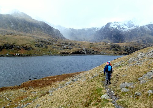
Looking back down Lower Eskdale

Saturday


I arrived at the bottom of the Hard Knott Pass at 5pm, an hour later than hoped, partly due to an unfortunate car who managed to slash both left tyres in a passing bay in the Wrynose Pass. Oh dear. I parked in the old bus turning bay just before the cattle grid (restriction signs have now been removed, yay!). Ready to go, I set off up the path on the east side of the  lower Eskdale. The sky was overcast, but not foreboding. The weather was comfortable and humid, but not oppressively so. All seemed well, suggesting that the weatherman had been wrong in forecasting light rain for almost 24 hours. We'll see!

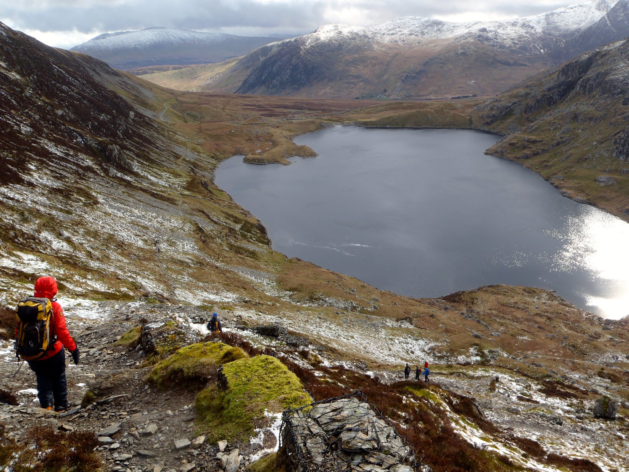
Lower Eskdale offers a beautiful stroll along a reasonably broad glacial valley with the impressive Esk waters winding along its base, hissing and roaring their presence over every boulder, fall and meander. I'd walked this path to Lingcove Bridge before, about 18 months ago over the New Year. Then we'd turned east up the falls of Lingcove Beck and returned south via the summit of Hard Knott and sliding down to the Roman Fort. This time I continued over the bridge to the west, following the Esk itself up into a magnificent plateau backed by Scafell Pike and the imposing Cam Spout Crag. I crossed the river easily here once or twice without getting wet feet (this wasn't going to be an option tomorrow - read on, avids). Wild campers had already staked claims in the plain: a khaki teepee style tent and, a bit further on, a man with his dog in a small 2-man. We chatted only briefly because I still needed to reach the top of Allen Crags and Lincomb Tarns to camp. The man advised I went up the right edge of the valley (right of Tongue), which I kinda knew, but was nice of him to say.

Esk (front), Cam Spout Crag (centre) and Scafell Pike (right)

I carried on to the end of the plain & collected water just after Little Narrowcove. 
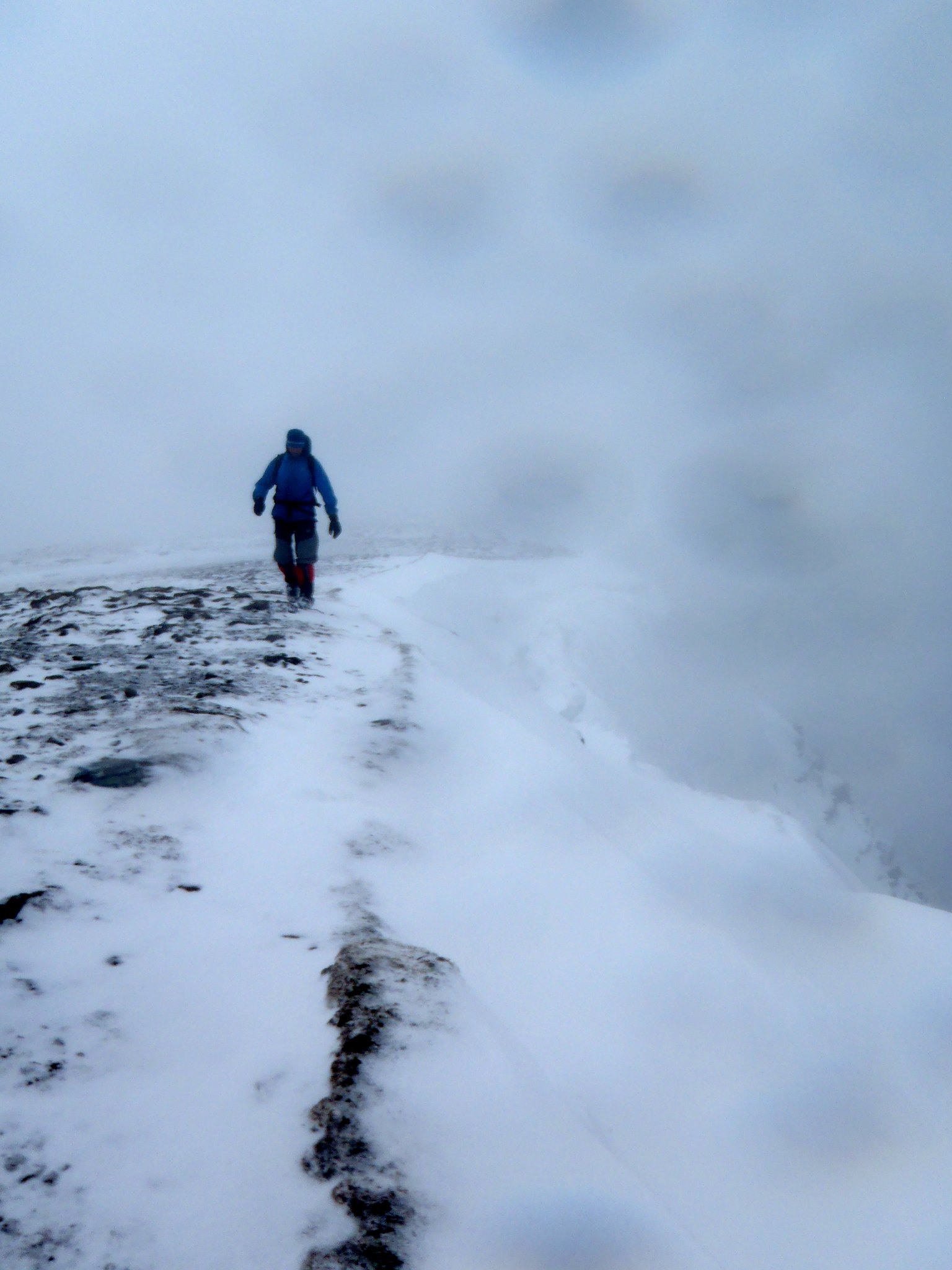
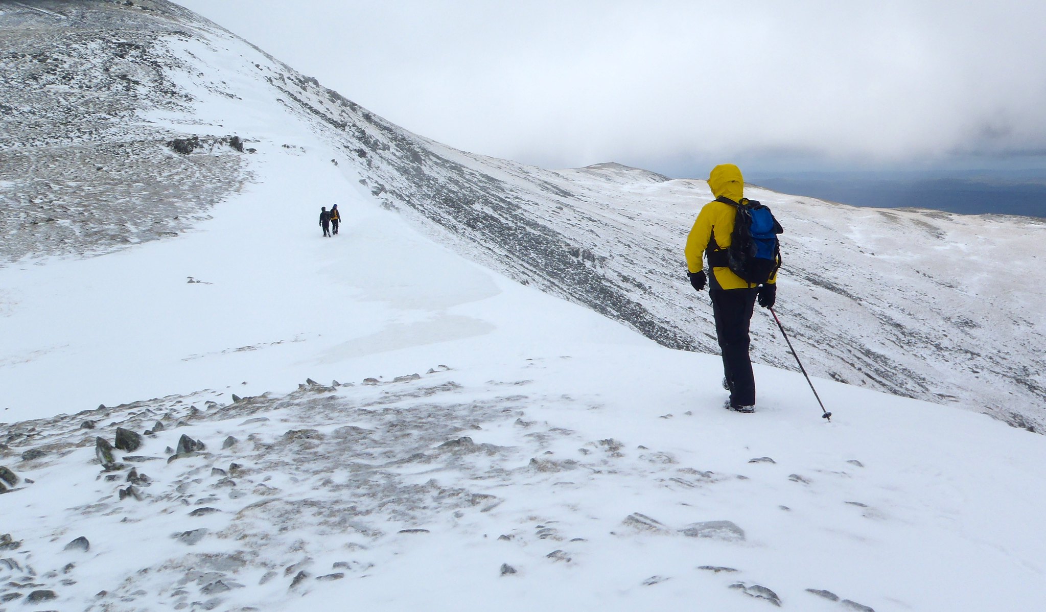
As I ascended the gorge toward the pass, the wind increased and the valley began to disappear in light cloud. Half way up, the rain began.

I arrived at the top in the cloud and rain, weary from the fast pace that I had set. I descended the right path past the shelter and ascended Allen crags. Some largely unnecessary dead reckoning found me south of the tarns but keen to settle for the night. I picked a relatively dry spot amongst the peaty bits and pitched the tent. I cooked up in the tent to keep out of the rain (a positive learning experience!) whilst wrapped in my sleeping bag to preserve warmth. I had a feeling that this was going to be a challenging night...

What a night! The winds picked up and it felt like my Wild Country Zephyros 2 was going to blow away! Several times I checked the tent pegs to see if they were still there. Luckily I was able to do this from inside the tent. One thing I did find odd was the light: it wasn't pitch dark here. Having checked the moon phases, there was only a waxing crescent that night, and there was so much cloud about that I was surprised that I could see inside the tent fine without using my head torch. It was nothing like being inside a cave or a mine. How strange!

Sunday


Despite my concerns of a flyaway tent, I slept solidly between 1200 and 03h00 and 03h30 and 06h30. Only then did one peg actually pull out, letting in the rain and showing that my overly soft, peaty camp spot probably wasn't ideal. Next time I'll find a dryer, bigger space. Lesson 1 learnt: arrive at camp site early to allow lots of time to find a pitch in daylight. The rain getting in the tent was a bit of a showstopper: things started to get damp, like my down sleeping bag, dry bags, and everything else. The only solution seemed to be grab a quick breakfast of granola with cold Options chocolate milk powder, then pack up a soaked tent and get moving.

Lincomb Tarns in a fleeting cloudless moment.

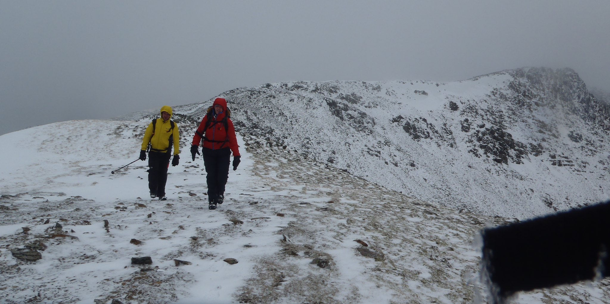
The morning continued to be grim: a strange mixture of rain showers, heavy clouds, and brief spells of clear sky when I felt like I was being blown around in the clouds! I chose to bag Glaramara and did so by 07h40, being given very brief but impressive glimpses down into Grains Gill and to Seathwaite Fell in between mostly thick cloud. I then headed back to the shelter south of Allen Crags. I sat here for a while, ate some more, noticing the huge amount of rubbish that littering scumbags leave behind. I filled a spare bag with tea bags, apple cores, orange peel and two empty tuna tins that had been hidden under a rock!

My next destination was the Corridor Route. I headed down past Sprinkling Tarn, passing a handful more wild campers and gathering extra water. I took an executive decision to cut over the top of Sty Head and get some steep ground practice in. At this point the cloud was clear, so I could see easily where to go. I picked up the path and continued onwards and upwards. I chose the Corridor Route for today on a recommendation (not a personal one!) by Joss Naylor MBE in Terry Abraham's "Life of a Mountain: Scafell Pike": it is a very worthy route, with a mix of easy scrambling, and some beautiful and exposed paths: today it passed by and forded over the now very full and impressive falls down Skew and Greta Gills. Nobody here but me and the Herdwicks though!

Greta Gill(?) fights the clouds off briefly

I continued until I joined the scree slope heading east toward the bwlch between Broad Crag and Scafell Pike and followed it to the top. At this point I was really flagging. Time, I thought for a brew! I sheltered just down from the path, and boiled up half a litre of water. Once boiled, I decanted enough water to fill my flask and kept some in the kettle pot to cook some noodles. Oh, what blessed reward! Those noodles and a few cups of hot green tea revived my flagging spirits. Lesson 2 learned: If the weather is getting you down, get a brew on!

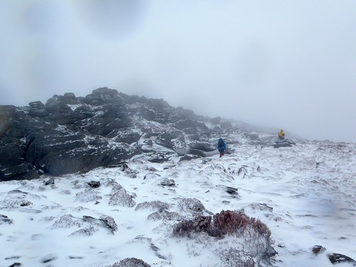
I was ready for the summit. I measured on the map, and paced until I found the summit 'cairn', a large round stack of boulders, which I then clambered up. Wow what a view! I was assured by a couple of local runners (who had summited moments before me) that I could see the whole of the Lake District from here on a good day. But not today: visibility remained limited to only the first path cairn down to the north. Poo!

At this point, I tried to navigate my way off the summit of Scafell Pike on my own. This is very hard to do for several reasons: the vast number of path cairns are difficult to ignore; the over-busy Ordnance Survey map of the area is strewn with words, path lines, but few helpful artifacts; and today's limited visibility. All this knocked my confidence, not to mention that my first bearing took me to some VERY steep rocks. So I wimped out a bit, took the easy option and followed the cairns. 

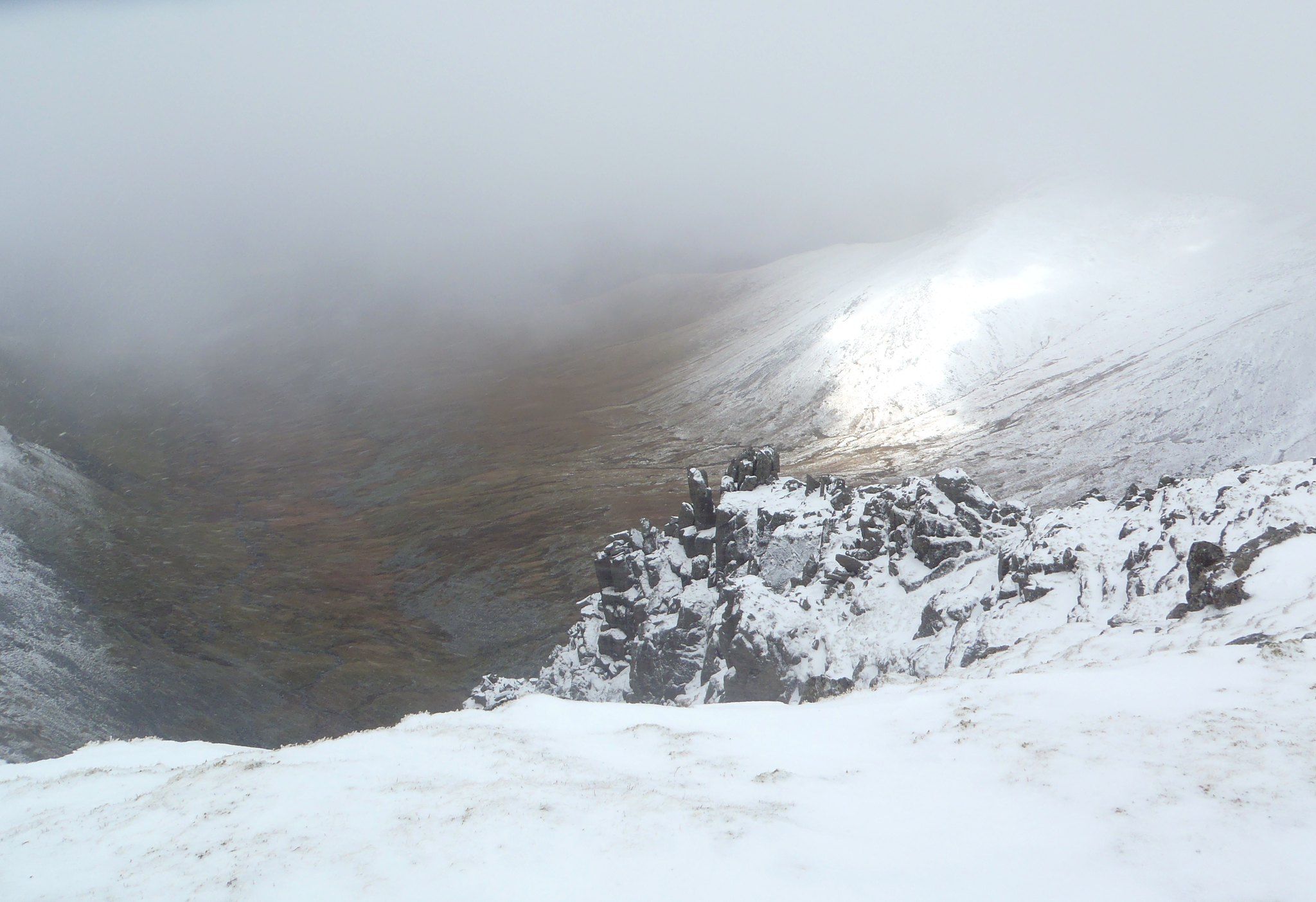
After all this rain, I was beginning to lose enthusiasm (what took me so long?!) as I headed toward Scafell. And there it loomed, out of the misty clouds: Broad Stand. I had originally planned to summit Scafell, but given the foul conditions and the sheer, wet, rock, this direction just looked foolhardy, and today, I was gonna be nobody's fool. I remember that there was the Lord's Rake route, but looking to the north of Broad Stand, I wasn't inspired to descend the steep scree slope with poles and heavy pack in that direction either. So I made an executive decision: now was the time to return to the Eskdale plateau and consider my options; maybe explore the east side of Eskdale.

The path to the south of Broad Stand, although very loose at the top, is actually quite impressive in the rain, with falls tumbling over the edge of Scafell from Fox's Tarn and onward and down to How Beck. There is, however, one 'river' crossing necessary. Generally, I expect, this isn't a problem. But the last 20 hours of rain had swollen the becks and made a simple step into a large jump or a wet wade. I chose a calculated jump! I carried on further and the clouds lifted enough. How Beck threw itself negligently down and over the waterfalls back into Eskdale, while I tottered carefully over the same rocks and warily down the peaty slopes.

The negligent How Beck Falls

As I reached Eskdale plateau once more, two things became evident: firstly, that all the rain had transformed the Esk from a inch-deep trickle into a full and dangerous flood of cold mountain water; and even now, How Beck wasn't going to be a walk-over either, metaphorically-speaking. Although it was: I followed it toward the impending Esk until the beck inexplicably split into two. Below the split by some distance the beck reached a shelf of stones on a corner that caused it to narrow and deepen along one edge. Crossing was now like walking through puddles and stepping over a half-metre wide stream. That was lucky! I headed to the banks of the Esk to inspect my chances of crossing. The flow was fast, wide and at least 60cm deep. I decided that I didn't need to completely retrace my steps. I would find a route on the west side of the Esk that precluded the need to wade! I continued to Sampson Stones, where Cam Spout Crag and other terrain offered some respite to the huge boulders and me from the wind.

It was now 2pm. I had a choice to make: stick it out for another night, or bail and go home. All of my layers were wet through; my tent was sitting in the bottom of my bag, full of water; I had only enough clothing to keep me dry sleeping in a dry tent in a dry bag. I was tired, and I was fantasising about Doner Kebabs! Surely that's a sign? As I sat in the light breeze, I shivered. Lesson 3 learnt: it's not worth risking hypothermia when I'm here on my own, irrespective of how beautiful Eskdale is! I checked the map and chose a route that removed all need to struggle across the Esk, down south along a shallow valley carrying Damas Dubs, running toward Scale Gill and my start point. I hurried along this route with renewed energy, anticipating a warm bed for the night! I arrived back at the van at 4pm, a mere 23 hours after I left and a good 5kg heavier due to wet kit. Thank you, Eskdale and Scafells, it was certainly an experience. I will be back!

Crossing Damas Dubs. Did I mention it had rained?

Saturday 19 April 2014

Tryfan Mountaineering Day

Today I was joined by Craig, Jon and Glyn. The plan was to take a grand tour of the Tryfans. The weather was forecast to be good: dry, sunny, windless; and actually turned out to be even better than that! We met relatively late at the big layby on the A5 near SH668605. I'd expected there would be parking problems due to the bank holiday bringing out everyone, but there was sufficient space for us to park safely. We sorted out all our climbing gear and, looking at the weather, decided to ditch the big mountain boots in favour of walking shoes and trainers.

Once packed up, we headed the short walk to Tryfan Bach (Little Tryfan). The path is easy to find as you head from the end of the layby, through the gate, then almost back to the farm to the second gate on the right in the fence. The ground here was a little damp, but not avoidably so.

Craig on Left Edge, Tryfan Fach (just out of the bright sunshine)
Little Tryfan was heaving! There were at least 10 pairs of climbers on this short rock crag. Luckily, our later arrival meant that most of the climbers were already near the top. We paired up, Glyn and Jon tackling the Mossy Crack (VS 4a), while I led Craig up the Left Edge (VDiff). The sun was not yet high enough in the sky to shine on the rock, but even so, it was not overly cold. I climbed the route in two pitches, mainly to get some practice in belay building, but my rope organisation skills could do with practice, too. I left Craig with a bit of a bird's nest of ropes for the last pitch! He was kind enough to let me know, though, so this was something else for me to think about and practice for the rest of the day.

Heading to Tryfan from Tryfan Fach
Once Craig and I finished the route, Jon and Glyn were there waiting. We joined up then headed toward Tryfan main. We scrambled over the final top of Tryfan Bach and toward the Heather Terrace path. There was a little bit of wet peat in the gully between the two, but we were able to skip over most. We continued along the Heather Terrace, identifying Bastow, Nor Nor and Green Gullies. There was one group of climbers just starting up Grooved Arete (obvious by the GA scratched on the rock). The start of North Gully was another 50m beyond.

Craig on an exposed and tricky pitch 2!
The North Buttress (VDiff) route starts in the second groove to the right of North Gully. Glyn chose to lead the VS variation in the first groove, which allowed Craig and I to start at the same time, keeping the two groups together. The climbing on the first pitch was fairly physical, with a few boot jams and a good amount of thrutching (such a good word!). The climb was mainly protected by slings: I like to tackle these old routes in the manner that they were originally climbed! The second pitch was good but, as a leader, had a bold step sideways to get up onto the arete. Craig took the easy option and climbed from the bottom of the Arete. The third pitch gave us two options: follow Glyn and Jon up the fairly blank small groove on the left, or take an obvious larger groove to the right. The larger groove looked easier, but had a 6 foot long fallen pinnacle resting in it: tapping it made a hollow sound. I was tempted to go this way but didn't like the consequences of this pinnacle falling off (to be fair, it probably weighed 250kg and was going nowhere), so I struggled a little but finally surmounted the arete again. Pitch four was then fairly straightforward and took us to the scramble section.

At this point in the route, there's a big, 50m scrambly gap in the route. By this time, it'd been a while since we'd heard from Jon and Glyn, so we assumed they were long gone. We scrambled up the path to Terrace Wall, and there they were, Jon belaying, Glyn halfway up, carefully considering the direct assult on the Belle Vue route (Beeline?, VS 5a). Craig and I watched for a bit and, realising that we were contributing nothing to help Glyn's route finding, referred to the route notes and easily found the quartz-slashed hanging boulder halfway up the wall. Pitch 5 was straightforward and dispatched quickly. Unfortunately, this was the first time we'd been in the shade all day (shaded by the main summit of Tryfan here) and the chill air was noticeable. Time to crack on back into the sun!

Craig on The Traverse
Pitch 6 is "The Traverse" pitch, and it's amazing! The capitals are there not because it's scary, but because it was worth naming it and they named it well. It basically takes you from the shadows around to the right of North Buttress to Belle Vue Terrace. The climbing is easy, with good places for hands and feet all along the route. The gear again is mainly slings. There's a bit of up-and-down route finding to follow, but it's all there. The main challenge lies in protecting your second for the traverse; oh, and not looking down! For me, this certainly was the pitch of the route, the exposed position balanced by the good holds, lack of polish and the Eastern Carneddau backdrop, especially on a clear day like today. It would be a worthwhile route just on its own (you can get to here by scrambling down the top of North Gully), and is comparable to pitches of Spiral Stairs on Dinas Cromlech.

On Belle Vue Terrace with Glyn
Once on the Terrace, I set up the belay, Craig started climbing, Glyn arrived, Jon arrived, and Craig arrived. We tackled the final pitch 7 relatively quickly: I used only 2 slings for this section in today's dry conditions, then friction-belayed Craig to our final destination. We sat and ate lunch at the top, enjoying the clear skies and breezeless warmth from the sun, before packing up and scrambling across the top of North Gully to bag the summit.

At the top of the route, before bagging the summit (behind)
Our descent route was via the south path with a slight rightward trend to gain the exit stream from Bochlwyd. Here I dunked my head into the cool waters of the llyn, by lying on a flat platform rock level with the surface: ah, refreshing! After a brief rest and recce of the Glyder Fach cliff for future days out, we route marched back to the parking after a long, tiring, but completely satisfying day.

Friday 18 April 2014

Snowdonia Conditions

Bright sunshine is forecast, but still easterly winds (admittedly light), so there'll be a chill in the air and possibly a bit of summit fog around midday. I can see high, big, slow-moving fluffy clouds out of my window.
So pack:
a) Sun glasses and sun cream;
b) a compass and a map (and know how to use them) just in case.

Happy mountaining!

Met office forecast for Tryfan today.

Sunday 13 April 2014

Glyder Fawr Mountaineering Day

Today I was joined by Mike and Jon from Clwyd Mountaineering Club. The plan was to ascend Idwal Slabs via the Ordinary Route (Mod), scramble up to Continuation Wall and ascend via The Arete (VDiff, 24m). We were then to scramble across to the main Glyder Fawr cliff and take on the Central Arete (VDiff, 200m). The forecast was for rain from about midday, though, which didn't bode well for our later start of 0930...

We parked at the parking along Llyn Ogwen at SH656602. I originally intended to head direct to the Idwal Slabs from there, but Jon was wearing approach shoes and Mike via ferrata boots, both ideal for the climbing we were to do, but not for the peaty bog that lay ahead. So we detoured along the main A5 via Ogwen Cottage to keep our feet dry and cover the ground quickly.

Soloing Ordinary Route (Mod) on the Idwal Slabs.

We arrived at the slabs at around 10am, which was reasonably quiet. We harnessed up quickly (to save time later) and, at Mike's suggestion, began to solo up Ordinary Route. The route was largely clear, and by soloing, we were able to keep ahead of the large group that was waiting to climb behind. We soon reached a woman belaying at around the 100m mark, and, after asking nicely, climbed past. We watched as her partner ascended the final steep section of the slab, waited for him to build his belay, then climbed past. Both were very polite and we didn't seem to disturb them with our soloing antics (a first for me!).

Which way now?

Once at the top of the route, we were then in a quandry: Jon had tried but failed to find the Arete before; and the directions I had brought were not very clear, not helped by the fact that I think I missed a page out of the photocopied entry from the guidebook! Luckily, I'd brought the original. By ascending further to the big arrow on the Slabs exit route, we eventually saw the small boulder perched on the cliff, then carefully traversed right to investigate further. We found the 3m wide quartz at the foot of the wall, but still took a while until we were certain that this was the route. Mike eyed up The Groove Above (S 4b), but I was in my big boots, so was keen to only stick on VDiffs. The Arete it was...

Although the route looked reasonable, finding the first protection was difficult. I jammed a nut in the right corner, mainly as reassurance, and placed a large sling. I then stepped up the centre of the wall to investigate a large gap: it would've been ideal for a sling and a 1930s style chockstone, but I didn't even have a hex to my name, so decided to leave it and stepped back down. I now stepped up and right into the corner, then walked up the terrace ledges, draping a sling over a small, 1in deep flake. The handholds here were better, so I made certain my feet and hands were secure before stepping left and placing a good nut in the only available space and continued up the arete. This was definitely a 'leader never falls' route: but at this point, I started to feel the wind buffet a little, which raised my awareness a notch. I continued on around the arete corner to the left, draped another sling over a small spike, then mantled up into the main shelf. I found a good place for another hex  in a small shelf at the back, but was only able to rest a number 10 rock in it. Oh, it'd be fine for relatively static tension downward, but not a big fall. I thought that this might be a good belay point, and was quite keen to have company up here after such a bold route! After more fruitless searching for another decent placement, I decided it would be better to just get on with it, and to escape the final 'easy' part of the route, to the right and up onto the top of the arete: phew! Once on the top, a perfect couple of cracks welcomed me, and it was with these that I built my belay. Time to relax on the top and watch/listen to the boys struggle up below...

Mike and Jon, a bit chilly

By the time Mike and Jon arrived at the belay, their were quite chilled, not helped by the coldness of the rock. It was 1pm: given that we'd escaped the showers so far, we chose to abandon an ascent via Central Arete, and instead to keep moving up Senior's Ridge. We headed up into the cloud, bagging the summit of Glyder Fawr just as a shower arrived. We continued rapidly down the scree slope to Llyn y Cwn: the rain stopped and we descended out of the cloud. As we came down through Devil's Kitchen and into the bottom of Cwm Idwal, we were able to both reflect on the routes we climbed and recce Central Arete for another, perhaps sunnier day. We will be back!

Friday 11 April 2014

Snowdonia Conditions

It's been so warm of recent that virtually all of the snow has gone, apart from a few small, avoidable patches on the occasional north-facing slope. The thaw was exacerbated by the last week or so of relatively warm (and last weekend's very wet) weather.

The forecast for this weekend is high pressure pushing in from the southwest today. This will slowly be pushed back by the low pressure to the north of Scotland, which will drop temperatures, raise the winds to around 30mph on the tops and drag in a couple of weak cold fronts in the middle of Saturday, bringing a chance of drizzly showers. Sunday looks to be getting better, and Monday looks gorgeous!

This is my amateur interpretation of these sources:
As for me? I'm going climbing in the Ogwen Valley on some classic and airy VDiffs.

Have fun!

Sunday 23 March 2014

Carneddau Conditions

Visibility has been so good that we can see both the Glyderau and the Carneddau in full from Bethesda. Here's a few gratuitous mountain shots. Enjoy!


Pen Yr Ole Wen, Carneddau Daffydd & Llewellyn from Glan Dena

Today, I took a group of 5 Clwyd Mountaineering Club colleagues and personal friends on a grand tour of the Carneddau. The forecast was for 30-35mph winds, increasing to 45-50mph, with snow and heavy snow.

I had been keeping an eye on conditions in the mountains all week. At the beginning of the week, there had been very little snow, but by Friday evening there was a light dusting on the tops. Given how the low level precipitation had consisted of brief showers, sometimes of hail, I presumed that there would only be powdery snow around, with possibly some hailstones. There was also likely to be rime ice on the tops, given the recent high humidity levels.

The route took us from Glan Dena (SH668605) along the side of Llyn Ogwen; up Pen Yr Ole Wen from Ogwen Cottage; over Dafydd and Llewellyn; over Craig yr Ysfa; then back to the start along the access road, over to the Roman road and down the valley.

The weather was clear until we started the Pen Yr Ole Wen ascent, and occasional light snow flurries silently swirled around us. As we went higher, the clouds descended and the winds increased. The snow was, as expected, powdery and sticky, a bit like the first falls of snow that make small children excited and then melt the next day. It made solid boot prints and easy walking. Group management was key at this point because the group's steep ground climbing fitness varied from mountain runner and cyclist via alpine walker to flat terrain legs. Thankfully, everyone helped out and we kept together reasonably well, or at the least in two small groups without too much separation.

As 'Leader', it was left to me navigate over the tops, where visibility was poor (around 100m). At one point I truly felt like the leader, when the group gathered around me as I explained how I was going to get us from the summit of Pen Yr Ole Wen to that of Dafydd. I explained how our pace of approx 4km per hour would take us 12 minutes to cover 800m, then add 1 minute for every 10m of the 110m ascent. This gave us an ETA of 23 minutes. At the same time, I paced it. The timing was 1 minute short; my pacing (due to icy patches and some deep snow drifts) was on the short side, needing another 200m! Good experience for me, and it felt good sharing the knowledge.

After Dafydd, the clouds cleared occasionally to give us excellent views down Cwn Llafar to the north, and even as far as the Denighshire Moors and Clwydian Range in the east.

As we crossed the Bwlch Cwyfrw-Drum, the winds really started to gust. Fortunately, it wasn't so strong as to make walking impossible, but you just had to be ready to transition from the no-wind to strong-wind (leaning left) moments! We picked up the north-south wall near the top of Llewellyn with the intention of sheltering a bit: it might have helped, but the wind was so fierce that we decided to avoid the summit proper, then descend east toward Craig yr Ysgfa. At one point (SH686643) the snow had been scoured and completely covered the path in ice, for about 10m. There had obviously been only one walker over this stretch when it was snow because vague boot prints were still carved in the ice. An ice axe might have been of use here, to cut the steps more positively; but in the end we managed to cross it without incident. The consequences of a slip were minor, the slope reasonably short and flattening out into powder and scree just below.

Thereafter, the walk itself was fairly inconsequential, apart from the really vicious but brief spindrift squalls that seemed to pick up on the west side of Ysfa. Given the late hour, we decided to avoid Pen Yr Helgi Du (boo) and continue down the access road to the A5, cross to the Roman Road at Gwern Gof Isaf Farm, then head directly back to Glan Dena. As approached, we could see squalls of precipitation heading up the valley from Y Garn. Then the lightning and thunder struck. No problem, we were relatively safe in the valley. But the consequent hail was unrelenting for the final 1km: 5mm balls of ice pounding thin waterproof layers like being flicked by an annoying bully hundreds of times per minute.

But we we're back!


A brief pause at the pillbox on the north shore of Llyn Ogwen
Al  inside the pill box

Glyderau and Ogwen Cottage

Secret bridge under the A5!
The snow showers arrive.
Snowy near the top of Pen Yr Ole Wen
Icy cornices along Ysgolion Duon
Cwm Llafar and Yr Elen (in the sunlight) from the top of Ysgolion Duon
Crossing the Bwlch, wind blowing right to left (notice the leaning!)
Ascending Llewellyn from the Bwlch
The well-worn path down from Craig yr Ysfa
The hailstorm arriving up Cwm Ogwen from Y Garn past Tryfan


(Photos also on Flickr)